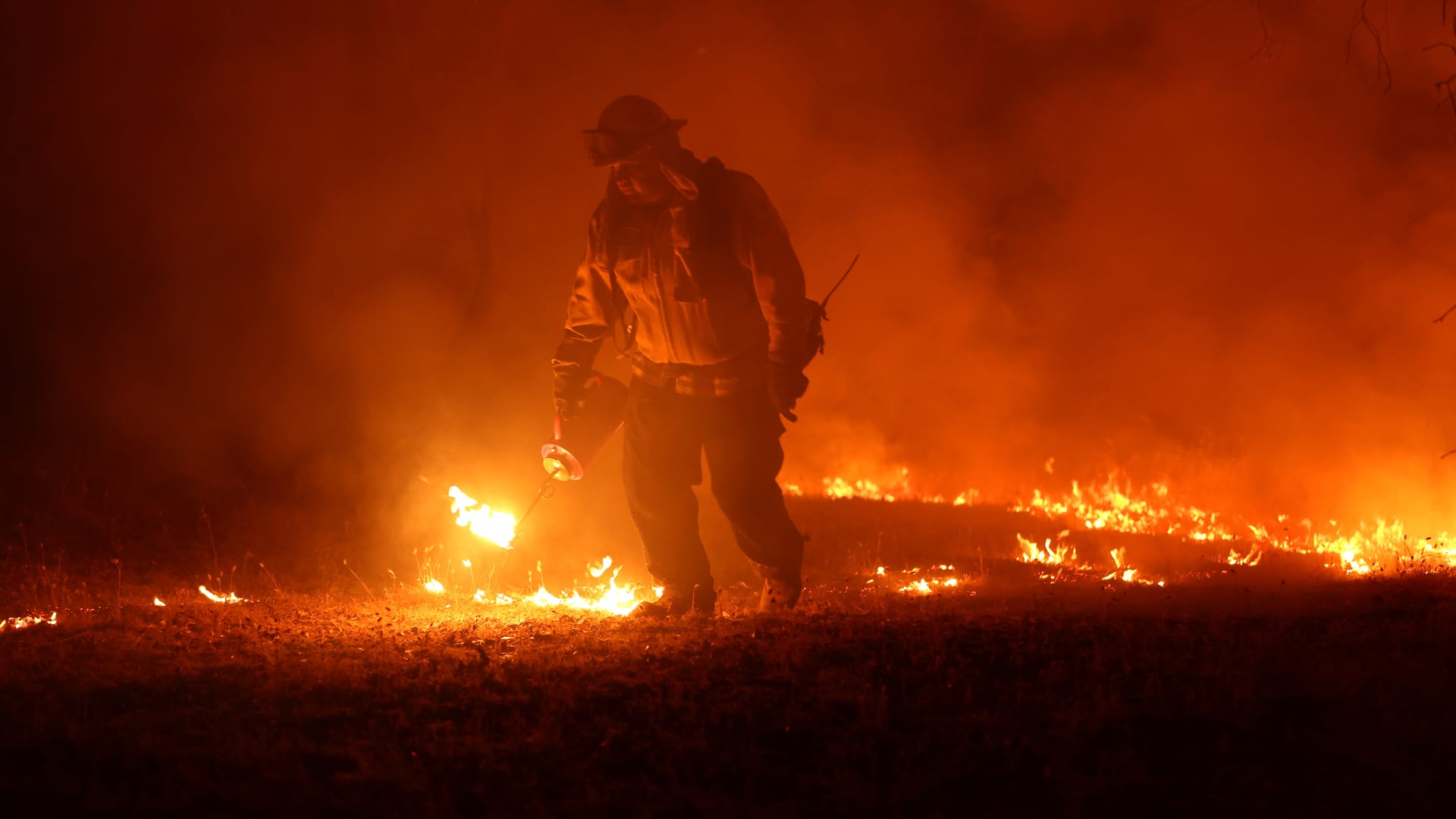
SAN DIEGO -- Wildfires in California and Montana exploded in size overnight amid windy, hot conditions and were quickly encroaching on neighborhoods, forcing evacuation orders for over 100 homes Saturday, while an Idaho blaze was spreading.
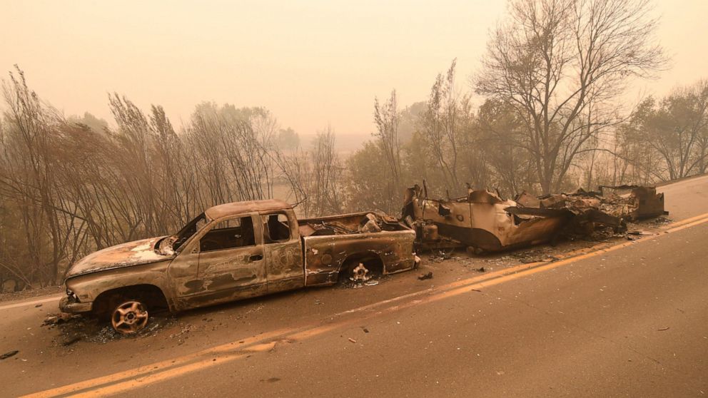
In California's Klamath National Forest, the fast-moving McKinney fire, which started Friday, went from charring just over 1 square mile (1 square kilometer) to scorching as much as 62 square miles (160 square kilometers) by Saturday in a largely rural area near the Oregon state line, according to fire officials. The fire burned down at least a dozen residences and wildlife was seen fleeing the area to avoid the flames.
“It's continuing to grow with erratic winds and thunderstorms in the area and we're in triple digit temperatures," said Caroline Quintanilla, a spokeswoman at Klamath National Forest.
California Gov. Gavin Newsom declared a state of emergency Saturday as the fire intensified. The proclamation allows Newsom more flexibility to make emergency response and recovery effort decisions and access federal aid.
It also allows “firefighting resources from other states to assist California crews in battling the fires,” according to a statement from the governor's office.
Meanwhile in Montana, the Elmo wildfire nearly tripled in size to more than 11 square miles (about 28 square kilometers) within a few miles of the town of Elmo. Roughly 200 miles (320 kilometers) to the south, Idaho residents remained under evacuation orders as the Moose Fire in the Salmon-Challis National Forest charred more than 67.5 square miles (174.8 square kilometers) in timbered land near the town of Salmon. It was 17% contained.
A significant build-up of vegetation was fueling the McKinney fire, said Tom Stokesberry, a spokesman with the U.S. Forest Service for the region.
“It’s a very dangerous fire — the geography there is steep and rugged, and this particular area hasn’t burned in a while," he said.
A small fire was also burning nearby, outside the town of Seiad, Stokesberry said. With lightning predicted over the next few days, resources from all over California were being brought in to help fight the region’s fires, he said.
McKinney’s explosive growth forced crews to shift from trying to control the perimeter of the blaze to trying to protect homes and critical infrastructure like water tanks and power lines, and assist in evacuations in California’s northernmost county of Siskiyou.
Deputies and law enforcement were knocking on doors in the county seat of Yreka and the town of Fort Jones to urge residents to get out and safely evacuate their livestock onto trailers. Automated calls were being sent to land phone lines as well because there were areas without cell phone service.
Over 100 homes were ordered evacuated and authorities were warning people to be on high alert. Smoke from the fire caused the closure of portions of Highway 96.
The Pacific Coast Trail Association urged hikers to get to the nearest town while the U.S. Forest Service closed a 110-mile (177-kilometer) section of the trail from the Etna Summit to the Mt. Ashland Campground in southern Oregon.
Oregon state Rep. Dacia Grayber, who is a firefighter, was camping with her husband, who is also in the fire service, near the California state line when gale-force winds awoke them just after midnight.
The sky was glowing with strikes of lightening in the clouds, while ash was blowing at them, though they were in Oregon, about 10 miles (about 16 kilometers) away. Intense heat from the fire had sent up a massive pyrocumulonimbus cloud, which can produce its own weather system including winds and thunderstorms, Grayber said.
“These were some of the worst winds I've ever been in and we’re used to big fires," she said. “I thought it was going to rip the roof top tent off of our truck. We got the heck out of there."
On their way out, they came across hikers on the Pacific Coast Trail fleeing to safety.
“The terrifying part for us was the wind velocity," she said. “It went from a fairly cool breezy night to hot, dry hurricane-force winds. Usually that happens with a fire during the day but not at night. I hope for everyone's sake this dies down but it's looking like it's going to get worse."
In western Montana, the wind-driven Elmo fire forced evacuations of homes and livestock as it raced across grass and timber, according to The National Interagency Fire Center, based in Idaho. The agency estimated it would take nearly a month to contain the blaze.
Smoke shut down a portion of Highway 28 between Hot Springs and Elmo because of the thick smoke, according to the Montana Department of Transportation.
Crews from several different agencies were fighting the fire on Saturday, including the Confederated Salish and Kootenai Tribes Fire Division. Six helicopters were making drops on the fire, aided by 22 engines on the ground.
In Idaho, more than 930 wildland firefighters and support staff were battling the Moose fire Saturday and protecting homes, energy infrastructure and the Highway 93 corridor, a major north-south route.
A red flag warning indicated that the weather could make things worse with the forecast calling for “dry thunderstorms," with lightning, wind and no rain.
Meanwhile, crews made significant progress in battling another major blaze in California that forced evacuations of thousands of people near Yosemite National Park earlier this month. The Oak fire was 52% contained by Saturday, according to a Cal Fire incident update.
As fires raged across the West, the U.S. House on Friday approved wide-ranging legislation aimed at helping communities in the region cope with increasingly severe wildfires and drought — fueled by climate change — that have caused billions of dollars in damage to homes and businesses in recent years.
The legislative measure approved by federal lawmakers Friday combines 49 separate bills and would increase firefighter pay and benefits; boost resiliency and mitigation projects for communities affected by climate change; protect watersheds; and make it easier for wildfire victims to get federal assistance.
The bill now goes to the Senate, where California Democratic Sen. Dianne Feinstein has sponsored a similar measure.
—————
Boone reported from Boise, Idaho.
Source https://www.globalcourant.com/wildfires-in-west-explode-in-size-amid-hot-windy-conditions/?feed_id=4537&_unique_id=62e5efa1d6b06